
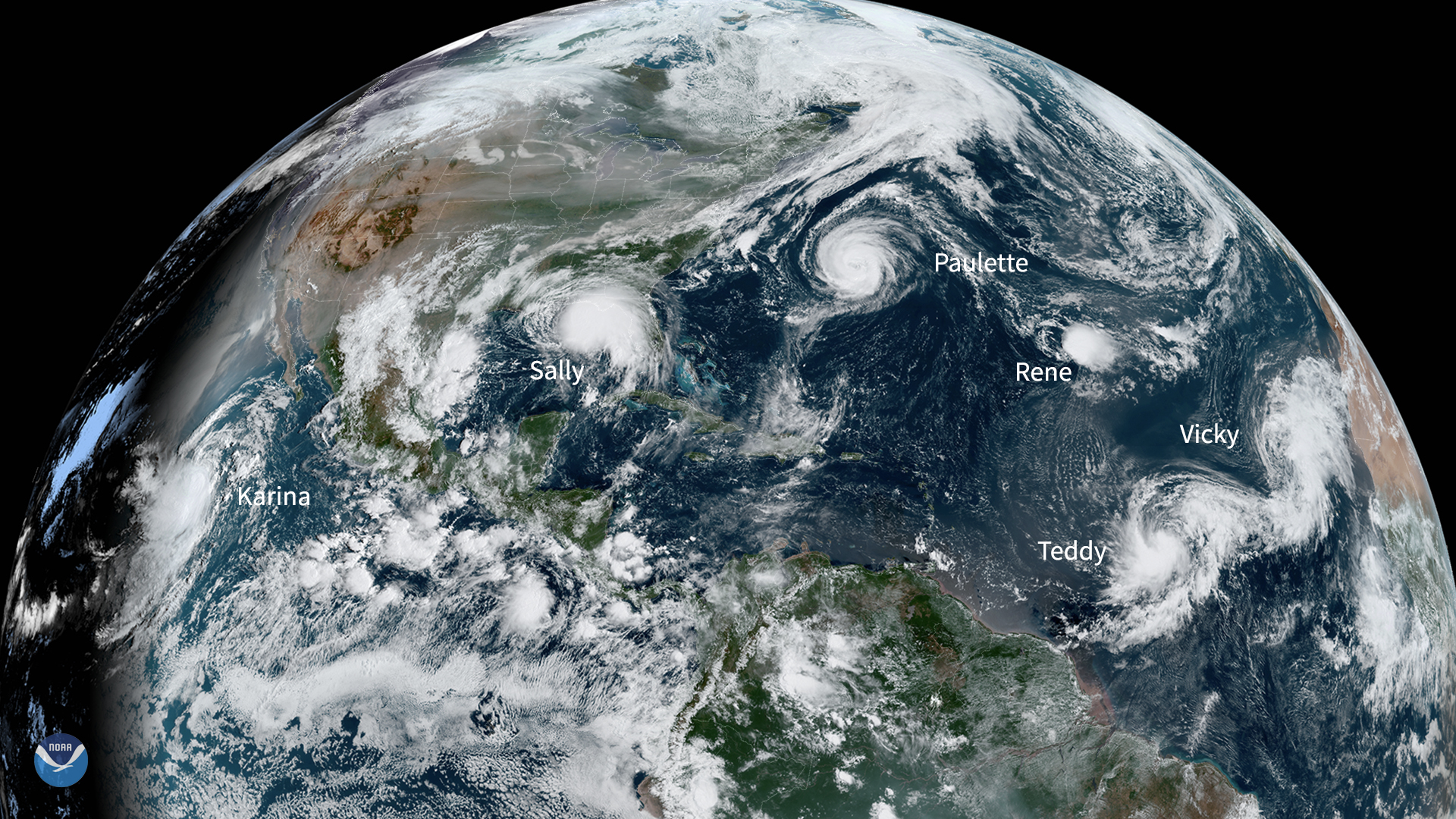
The National Hurricane Center is tracking two areas of disturbed weather in the Atlantic basin, though neither system is expected to threaten the United States in the coming days. A tropical wave over the eastern Atlantic and a disturbance near the Caribbean Sea are being monitored for gradual development, giving Georgia’s coastal communities a moment to assess their readiness before the heart of hurricane season arrives.
Forecasters note that the eastern Atlantic wave has only a low chance of strengthening into a tropical depression or storm as it moves westward over the next week. The second system, closer to the Caribbean, shows slightly higher odds of organization but remains several days away from any potential land interaction. The NHC emphasizes that, for now, the Gulf of Mexico and the Southeast coast are not in the path of either feature.
Still, the twin systems serve as a pointed reminder that peak hurricane activity for Georgia historically spans from mid-August through October. The state’s 100-mile coastline, its barrier islands, and the low-lying cityscape of Savannah are among the most vulnerable stretches of the Atlantic seaboard. As climate change continues to warm the Atlantic Ocean, the conditions that spawn and intensify tropical cyclones are becoming more favorable, even when individual storms do not make landfall.
Warmer sea surface temperatures – which have been running at record levels in recent years – inject more energy into forming storms and can lead to rapid intensification, a phenomenon that has caught many coastal residents off guard. Heavier rainfall, a well-documented climate signal in tropical systems, increases inland flood risks across southern Georgia’s river basins and agricultural counties. Storm surge, too, is amplified by the higher baseline of sea levels already measured at the Fort Pulaski tide gauge near Tybee Island.
Georgia’s agricultural backbone, which stretches from the fall line down to the Florida border, bears an outsized burden when tropical weather turns violent. Hurricane Michael in 2018, though making landfall in the Florida Panhandle, carved a path through Southwest Georgia and inflicted more than $2.5 billion in agricultural losses – leveling pecan orchards, destroying cotton crops, and crippling poultry operations. More frequent extreme weather tied to a changing climate threatens the reliability of planting cycles, insurance costs, and rural livelihoods across the state.
Coastal communities likewise face an evolving risk profile. Even weaker tropical storms can produce significant storm surge in areas like Brunswick, Darien, and St. Simons Island because sea level rise has already eaten away at the natural buffer. Routine king tides now push water into streets that once stayed dry, and a direct hit from a Category 2 or 3 hurricane would compound that chronic flooding into catastrophic territory.
Resilience efforts are underway at the state and local levels. The Georgia Emergency Management Agency conducts annual hurricane exercises, and Chatham County has invested in improved drainage and evacuation route planning. However, adaptation experts caution that the pace of warming and the projected increase in the proportion of storms reaching major hurricane status will require accelerated investments in infrastructure, wetlands restoration, and building code updates.
For Georgians, the sight of two blobs on the NHC outlook map – even if they never become named storms – is a cue to finalize hurricane kits, review insurance policies, and know their evacuation zone. State climatologists and the National Weather Service urge families to have multiple ways to receive warnings and to avoid complacency simply because early-season forecasts point away from the coast.
With NOAA predicting an above-average 2025 Atlantic hurricane season due to lingering warm ocean anomalies and a developing La Niña pattern, the window for preparation is now. The twin disturbances may dissipate over open water, but the underlying trends mean that another Matthew, Irma, or Michael is a matter of when, not if. Georgia’s future depends as much on staying informed in the short term as on embracing a climate-resilient strategy for the long term.